
Chapter 2 · The long walk
Ancestors crossed where the ocean used to be.
Roughly twenty-five to fifteen thousand years ago, lower sea levels exposed a vast plain between what is now Siberia and the Yukon. Ancestors moved across it slowly, over generations, following caribou and the edges of ice.
At Bluefish Caves in the northern Yukon, cut-marked bones place people on this land at least twenty-four thousand years ago. That is among the oldest evidence of human presence anywhere in the Americas.
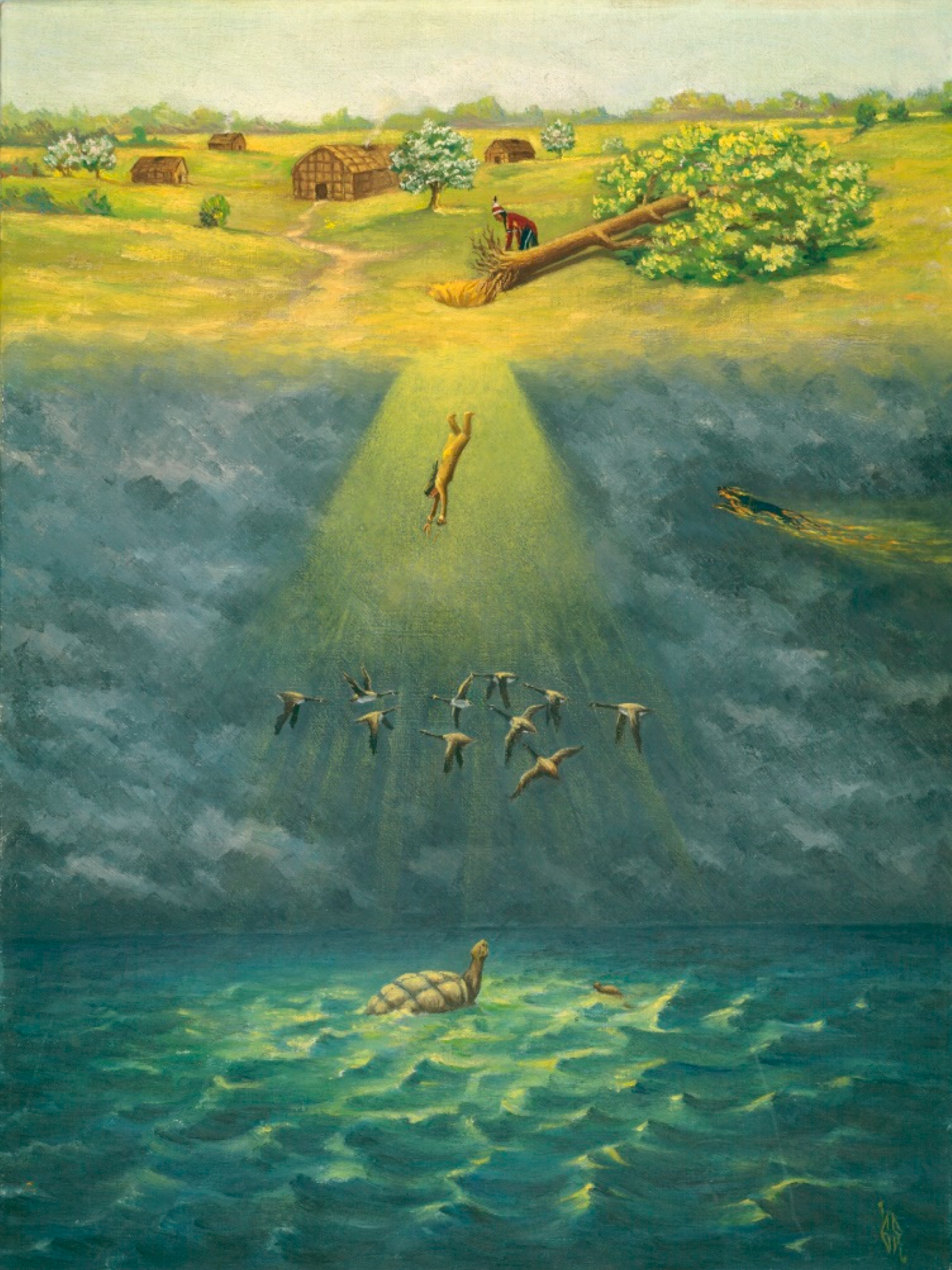
Chapter 3 · The people became peoples
Over thousands of years, the people became peoples.
From the high Arctic to the Pacific shore, from the boreal forest to the Plains, ancestors learned the particular grammar of each place. Languages branched into more than seventy distinct tongues across roughly a dozen language families. Governance systems emerged. Ways of living were refined over thousands of years, each one an answer to the specific question a specific place asked.
Keep scrolling. The map fills in as the story does.
Chapter 3 · Interconnections and exchanges
Already connected.
Obsidian from the Rocky Mountains turns up in tool kits a thousand kilometres east. Copper from the shores of Lake Superior moved in every direction. Dentalia shells gathered on the Pacific coast appear in burials deep inland. Argillite from Haida Gwaii. Buffalo robes from the Plains. Tobacco moving north along well-worn routes.
Hover any line on the map to see what travelled it, and where.
Chapter 4 · The land remembers
The places that carry the longest memory.
In Canada, the archaeological record runs deep. Certain sites carry so much accumulated human presence that they have become landmarks for the peoples who made them and for the land itself.
- Bluefish Caves
- Head-Smashed-In
- SGang Gwaay
- Áísínai'pi · Writing-on-Stone
- Pimachiowin Aki
- Wanuskewin
- Kejimkujik
- Manitou Mounds
- Peterborough Petroglyphs
Hover any point on the map to read its story.
Chapter 5 · When others arrived
New France, along the river.
From the early sixteen hundreds, French traders, missionaries, and soldiers worked their way up the St Lawrence and into the Great Lakes. They drew the first European claims across a continent that already had owners.
Chapter 5 · When others arrived
British North America, after 1763.
After the Seven Years' War, the British took the map. The Royal Proclamation of 1763 promised that Indigenous nations would not be dispossessed without their consent. It is a promise that still has legal force today, and one that most of what followed chose to forget.
Chapter 5 · When others arrived
Canada, drawn on top.
Confederation in 1867 drew Canada into the shape we recognise now. The numbered treaties followed across the Prairies. The Indian Act followed in 1876. The residential school system left a mark on one hundred and thirty-nine federally funded sites, and on the families who carry it still.
And yet.
Chapter 6 · Still here
Six hundred and thirty-four First Nations. Four Inuit regions. One Métis homeland.
The peoples who were here before the map was redrawn are still here. They have survived everything that was placed on top of them, and they have not stopped.
Today they are building. In boardrooms and on construction sites, in courtrooms and in language nests, on the land and at the table where the decisions get made.
There is still a long way to go. The gaps are real, the fights are ongoing, and the damage done across generations does not undo itself in a decade. But the direction is forward, and the people doing the work are the same ones who have always been here.
Hover any territory on the map. Boundaries are approximate and should not be taken as legal or definitive.
Chapter 7 · Seven generations on
Who thinks furthest ahead.
The Haudenosaunee Great Law of Peace asks leaders to weigh every decision against its impact on the seventh generation ahead. Roughly one hundred and seventy-five years. Long enough that no one alive when the decision is made will see how it lands.
The people who have been on this land for thousands of years are still the ones thinking furthest ahead. It is a way of seeing the land, and a way of choosing who to build and move forward with.
